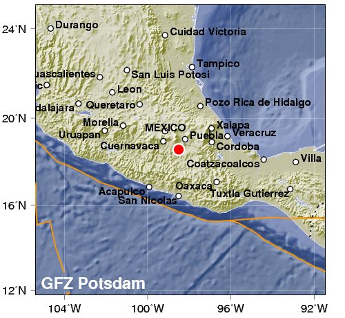
2017-09-19 墨西哥中部地震
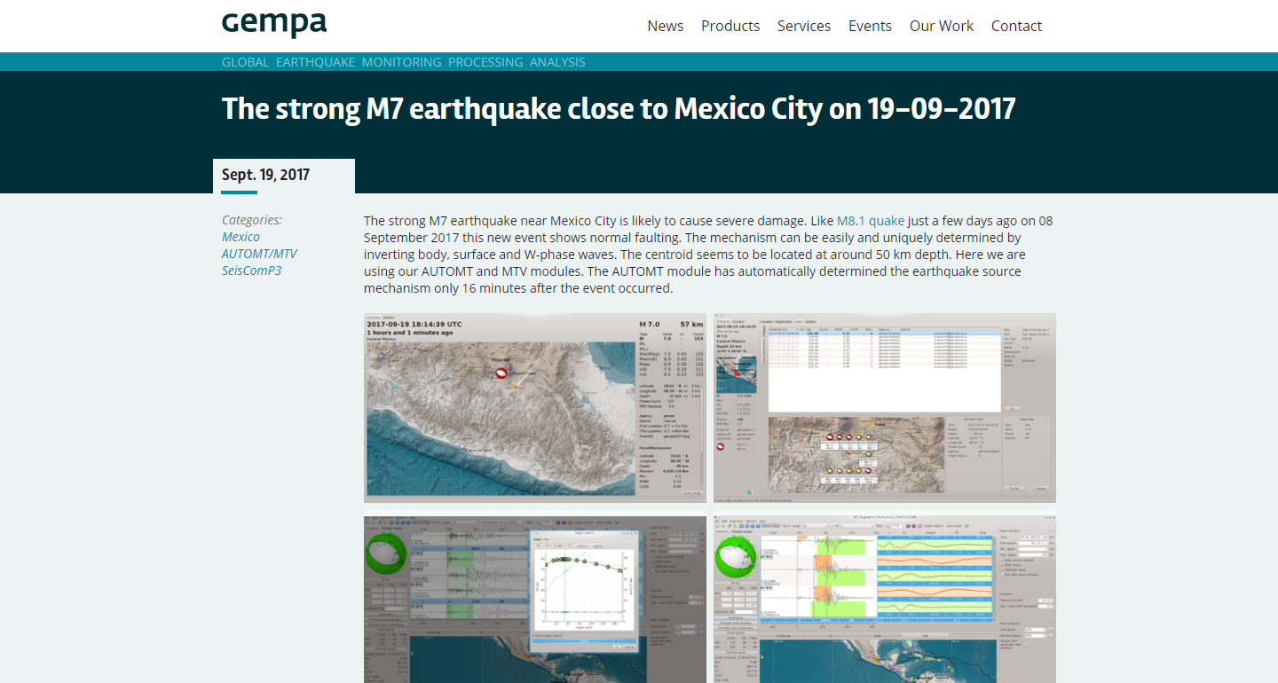
觀測網地震資訊
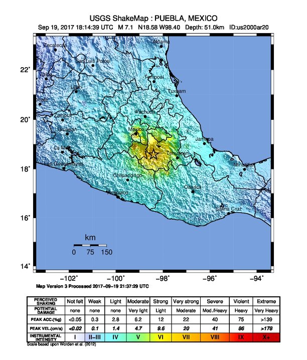
USGS
2017-09-19 18:14:39 UTC
18.584°N 98.399°W
51.0 km depth
Focal Mechanism
Nodal Planes
| Plane | Strike | Dip | Rake |
|---|---|---|---|
| NP1 | 108 | 47 | -98 |
| NP2 | 299 | 44 | -82 |
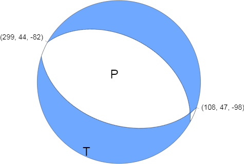
USGS_Focal_Machanism
Source:USGS
地體構造
陳冠宇博士(Dr. Kuan-Yu Chen)提供
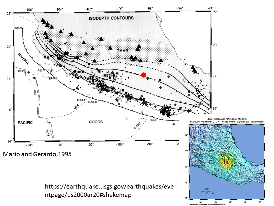
eqmap1
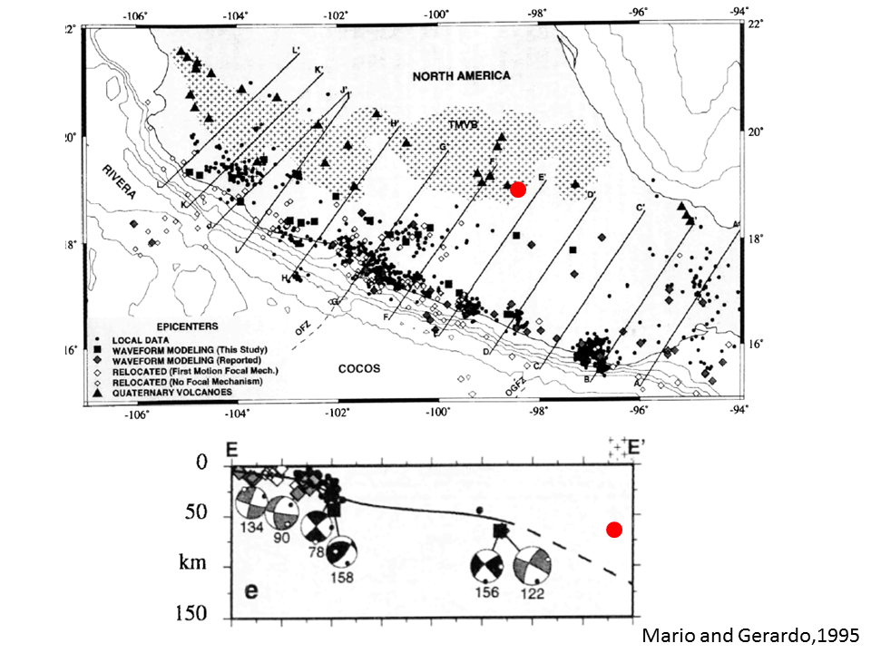
eqmap2
Figure origin: Pardo, M., and G. Suárez (1995), Shape of the subducted Rivera and Cocos plates in southern Mexico: Seismic and tectonic implications, J. Geophys. Res., 100(B7), 12357–12373, doi:10.1029/95JB00919.
